Gravity Gradiometry Field Acquisition
Bell Geospace has the most experienced operations team in the gravity gradiometry business, operating the most sophisticated instrument in resource exploration.

Bell Geospace has the most experienced team of gravity gradiometer operators in the world—several of our supervisors have 20+ years of experience and an average of over 10 years. This experience is invaluable when dealing with the complex and subtle issues associated with one of the most sophisticated instruments in resource exploration.
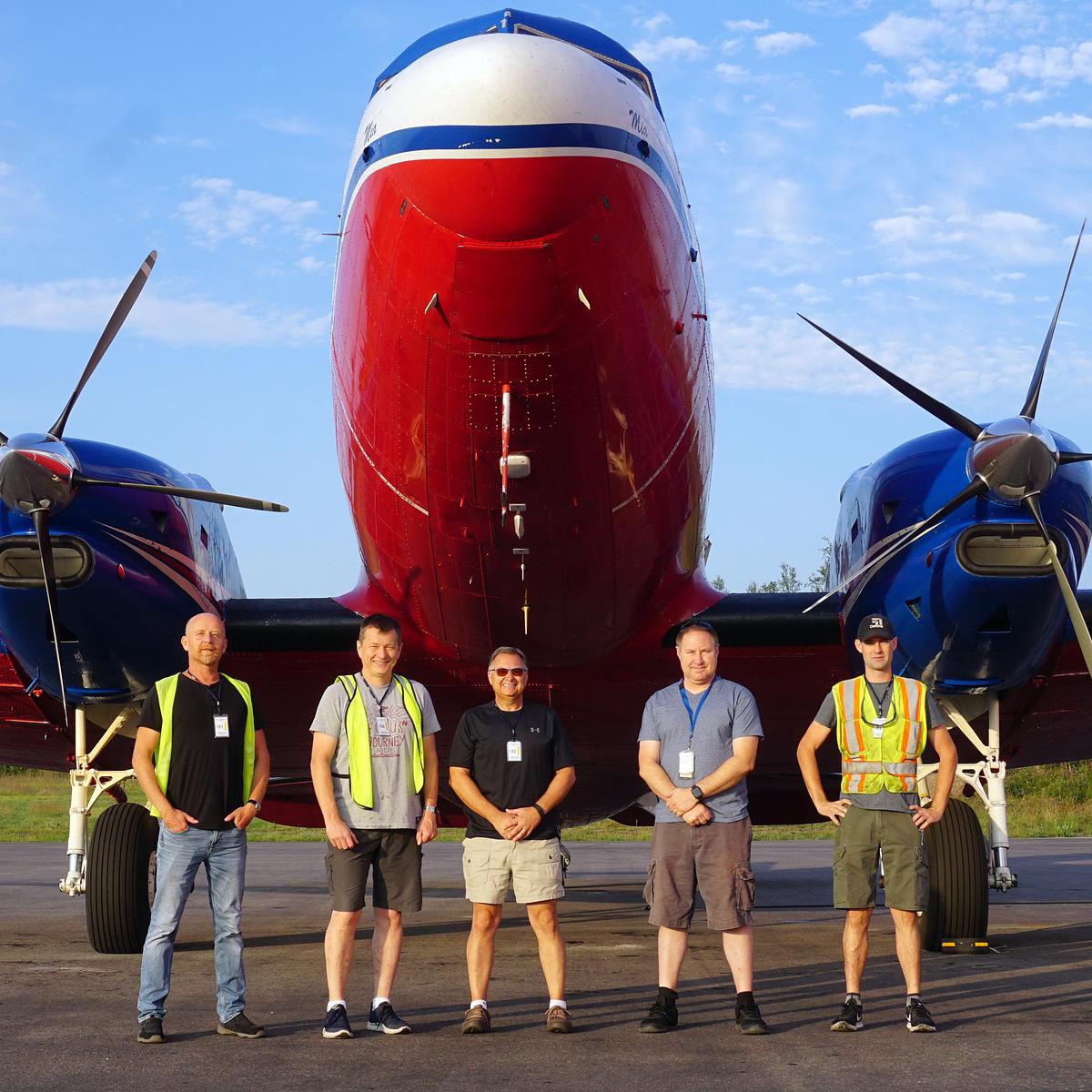
Bell Geospace sends a team of five (three flight crew and two mission specialists) to our remote bases for a monthly rotation. They operate from a local airport inside our Basler BT-67 (Turbo DC-3) mobile lab which is setup to acquire, process and quality check state-of-the-art gravity gradiometry along with scalar gravity and magnetics.
Our typical survey routine on a usual survey day is:
- Pilots check weather and advise on best time for flight.
- Crew arrives at airport around 45 minutes before take off.
- The FTG operators initialise FTG inertial platform and set out mag base stations while the air crew finalise the flight plan and perform a walk around of the plane.
- Take off and ferry to within 15 minutes of the first line at cruise speed.
- Slow down, drop towards drape height and set aircraft for survey.
- Start data recording.
- Flight duration limited by fuel or conditions, may be up to eight hours.
- Conditions that stop a flight are generally turbulence (wind/thermal) that adversely affects FTG data or visibility/wind/storms that compromise VFR conditions or are deemed unsafe by the Captain.
- After landing, the data is field-processed and typically uploaded for quality checks on the same day.
One of our field supervisors was interviewed on a project in Indonesia for Kalimantan Gold (read the interview here). Below is a video showing some survey acquisition activities from that same survey.
This is another video of our airborne operations from Miri, Malaysia. Filmed and edited by one of our pilots.
A free feasibility test to explore your options
Find out if a Bell Geo survey is right for your project. Predict the usefulness of FTG / Mag data. Receive inferred results, pricing and time frames.
Explore your options
